Localisation is currently underway to formalise the informal urban settlements of Dar es Salaam which currently comprise 70% of the city. Formalising a settlement is incremental in giving legitimacy to a community and in increasing the security of tenure of the residents and their land rights. Formalising settlements also allows for more detailed, sustainable city planning. Unfortunately, the current methods of data collection to understand these boundaries has resulted in inaccurate data and partial community engagement.
To help improve current data collection methods needed for localisation, the HOT Tanzania team recently provided three days of training with 6 Masters students, all studying a Master of Science in Urban Planning and Management (Msc. UPM), and 3 members of staff at Ardhi University. Up until now, the method taken to map informal settlements has involved the use of drone and satellite imagery to identify resident boundaries. This process tends to be inaccurate and time consuming since local people are accustomed to the day to day 3D visualisation of their homes at street level, not a 2D drone image taken from above. The densely populated areas also make it almost impossible to identify individual houses and define boundaries.
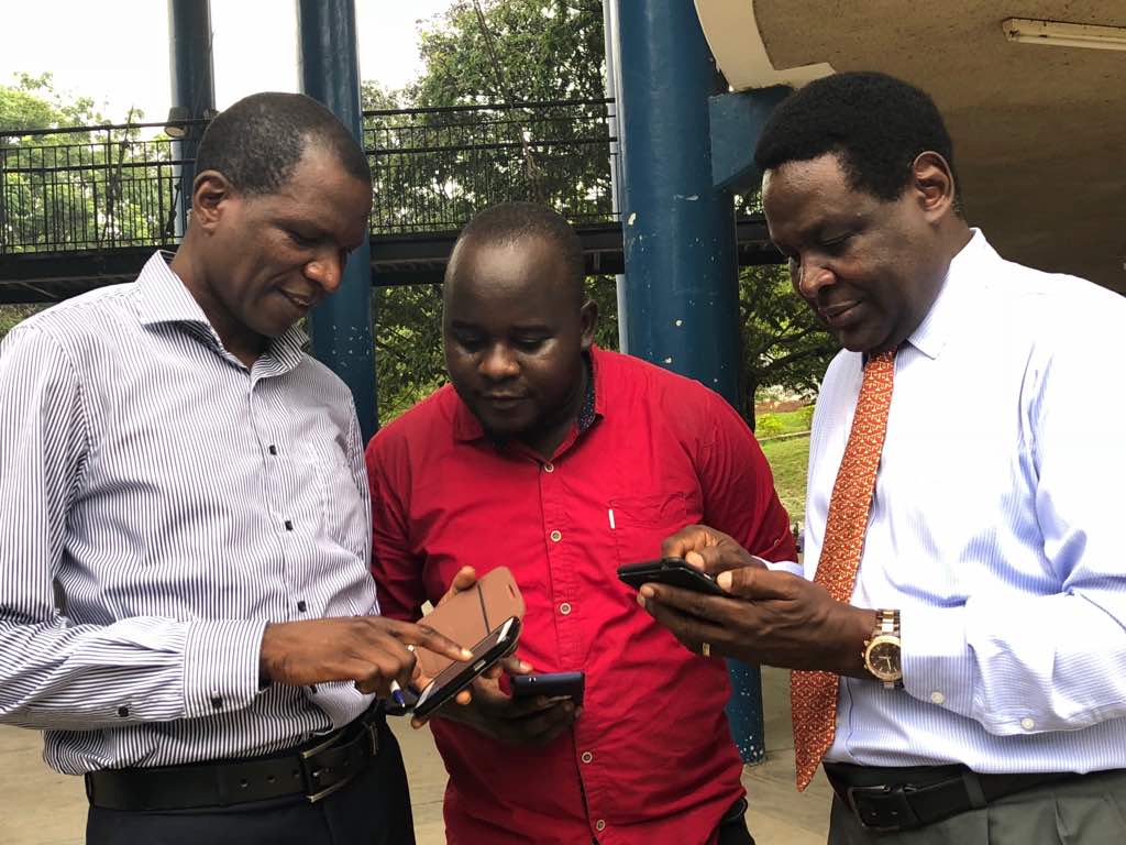
Prof Tumsifu Jonas Nkya(right), Dr John Lukenangula at Ardhi University (left) installing and practising using Open Data Kit (ODK) during training from Ramani Huria expert Iddy Chazua (middle)
Hoping to increase community participation and data accuracy, the HOT team have been teaching students and staff about open community mapping. The training involved workshops on using OpenStreetMap (OSM), JOSM, OpenDataKit (ODK), and OpenMapKit (OMK). Using these tools, digital surveys can collect data at street level by speaking with inhabitants to identify land-use, ownership and usage of buildings, and socio-economic status of inhabitants. Tagging building attribute on OpenMapKit whilst conducting the surveys at ground level ensures that land-use can be defined more accurately. This data can then be used to map out residency boundaries. This method is quicker and more environmentally friendly than previous paper surveys since the additional data inputting stage is removed from the process. By involving community members directly in the mapping process in a format that they can relate to, more accurate data is collected. When community mapping begins, local Shina (division of a sub-ward) leaders, Wajumbe, will accompany the field data collection team to speak with local inhabitants to reassure them.
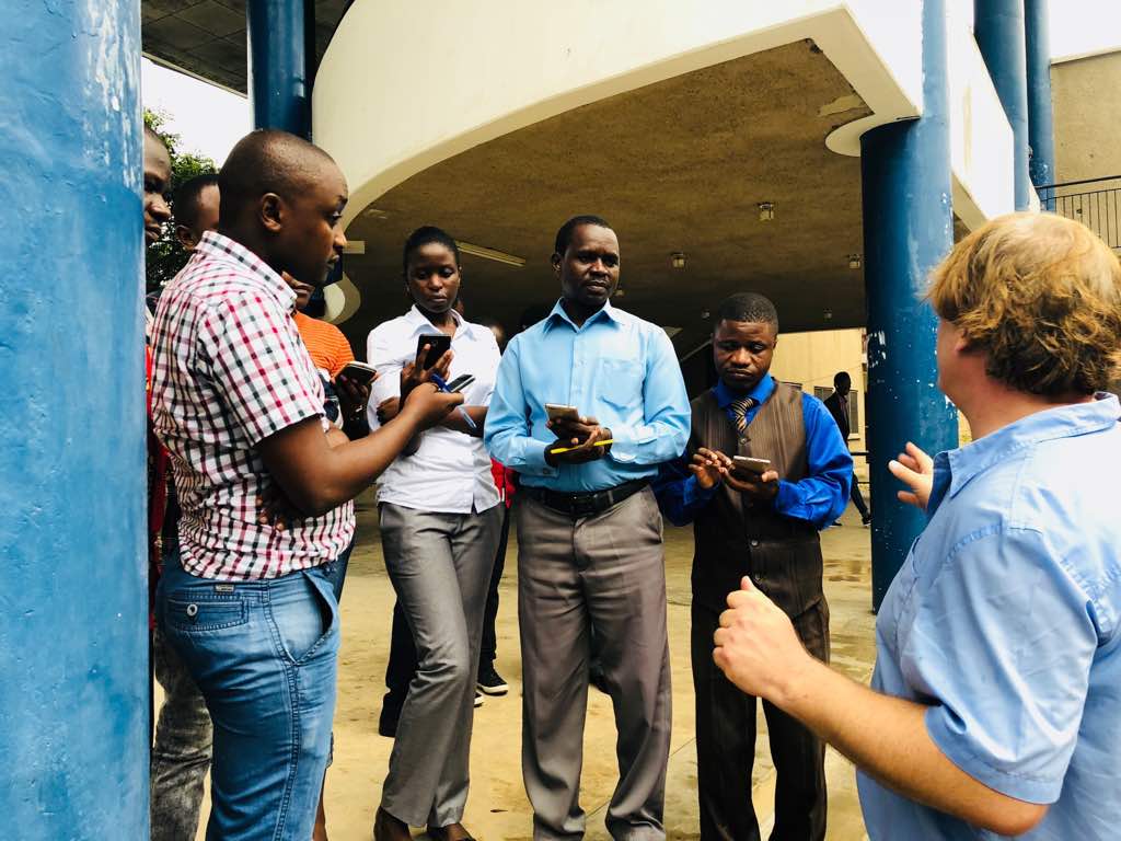
Training by practice led by Ivan Gayton, HOT Tanzania Country Manager.
The maps created from this project will be accessible to everyone online through OpenStreetMap. This means that for the first time, inhabitants of informal settlement will exist on a map and can be more included and involved in future plans for their city. Printed maps will be used as Town Planning drawing which will study existing city conditions and land-use and consider where resources should be allocated or which areas are in need of development. The maps will also help monitor changes in building usage since, currently, government officials don’t have a referral point for building use if someone requests permission to change building function.
“Community Mapping can facilitate community participation by inhabitants mapping their properties and involving them in any other data collection which is crucial for the regularization activity” – Luteranya Mapambano Msc student in UPM 2017/18
“Community Mapping is a key instrument in shortening time at site during regularization, since any person can find necessary information like development and any other main features without the necessity of going to the site” – Jikora, Emmanuel, UPM Student