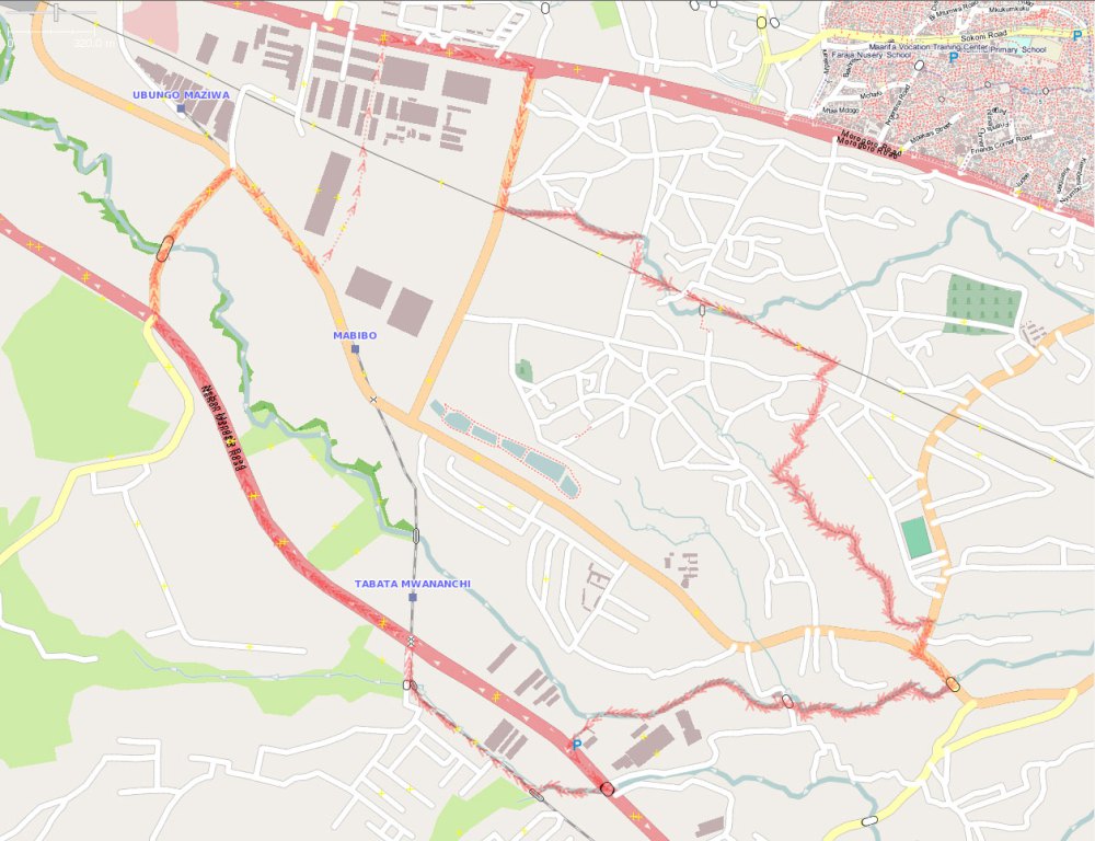
As part of our continuing work to map Dar es Salaam, Ramani Huria began mapping an additional six wards of the city: Makumbusho; Makurumla; Mabibo; Mburahati; Msasani; and Keko
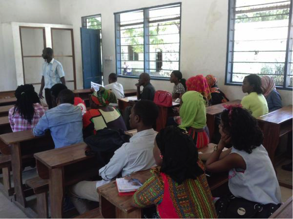
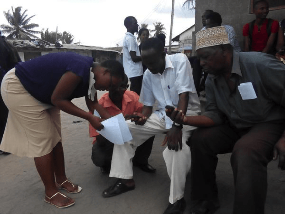
The mapping was launched with community forums in each of the wards on July 13-14th. The forums drew together community members from the respective wards and students who have been assigned to work with the community and map the wards.
The students involved in mapping the wards come from the University of Dar es Salaam and Ardhi University and have received holistic training in mapping techniques, including the use of field papers, GPS, and OpenStreetMap.
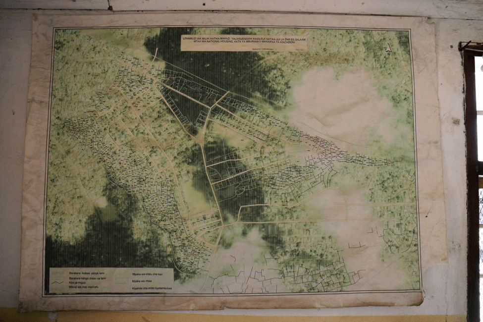
Ramani ya sasa ya mburahati katika ofisi ya kata.ramanihuria iliendelea kutengeneza ramani zenye taarifa za kina na za sasa kwa kata sita za ziada.Picha na:Ramani Huria
Wanafuzi walioshiriki katika utengenezaji wa ramani walitoka katika vyuo vikuu Ardhi na Dar es salaam na walipokea mafunzo ya mbinu utengenezaji ikiwemomatumiziya GPS,makaratsi ya maeneo pamoja na (open streetmap)
The mapping of the wards is expected to take around two weeks and once completed, the data and maps will be presented to the community members in closing forums.