


Since 2019, the Resilience Academy has been supporting students’ industrial training—an internship program that normally goes up to eight weeks. The aim is to support students participating in practical activities and increase their skills especially digital skills. Resilience Academy is a partnership between four academic institutions in Tanzania: Ardhi University (ARU), University of Dar es Salaam (UDSM), Sokoine University of Agriculture (SUA), and State University of Zanzibar (SUZA) with the University of Turku (UTU) from Finland.
The skills that students will acquire include mobile data collection using OpenData Kit (ODK)—an open-source software for collecting, managing, and using data in resource-constrained environments—, field and community mapping, map production using QGIS, data quality assurance, all while contributing to OpenStreetMap.
The series of industrial training over the years has been successful in creating an apprenticeship program for more than 800 students (as of 2019) before and after college graduation. Over the past years, we have had students who benefited from the Ramani Huria project, who are now flying across the world to teach and present about our work and how the use of open-source software has served as a tool to support them to develop their skills.

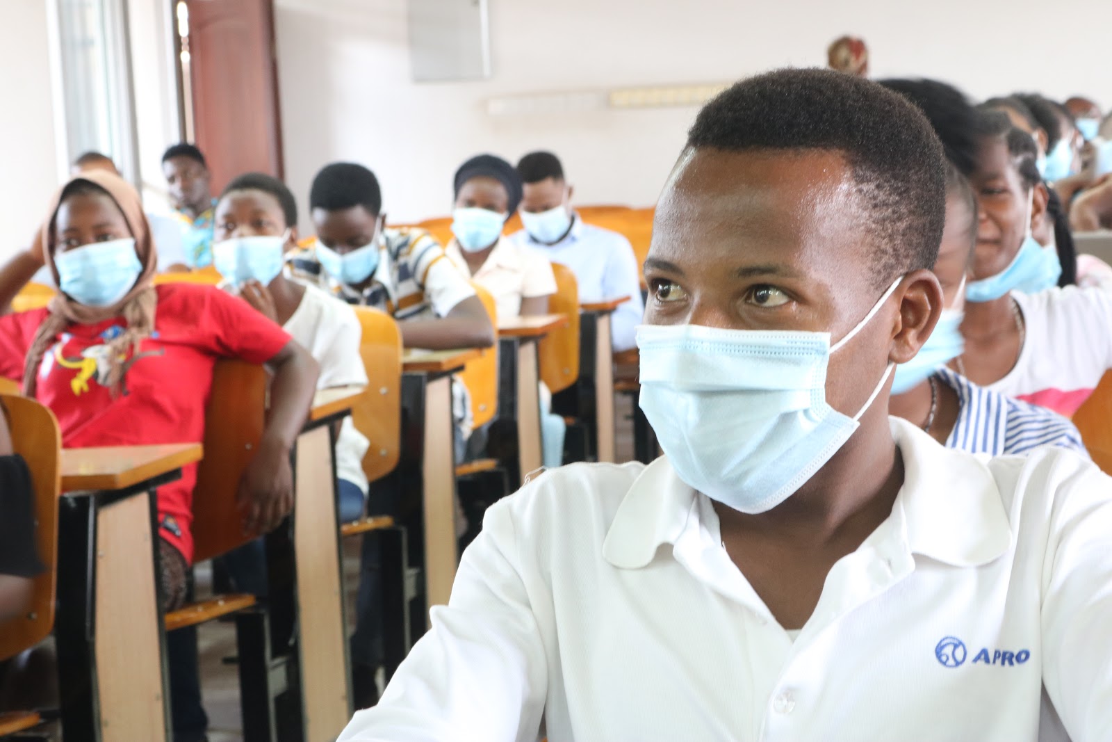
The first week of the training basically focused on bringing students on board on what to expect from the 6 weeks placement and what is expected from them . Introducing OpenStreetMap, QGIS, ODK for data collection, and the importance and value of community engagement, in general, were the main topics featured in the first week. The students got to learn:
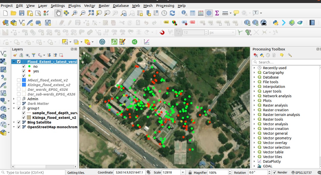
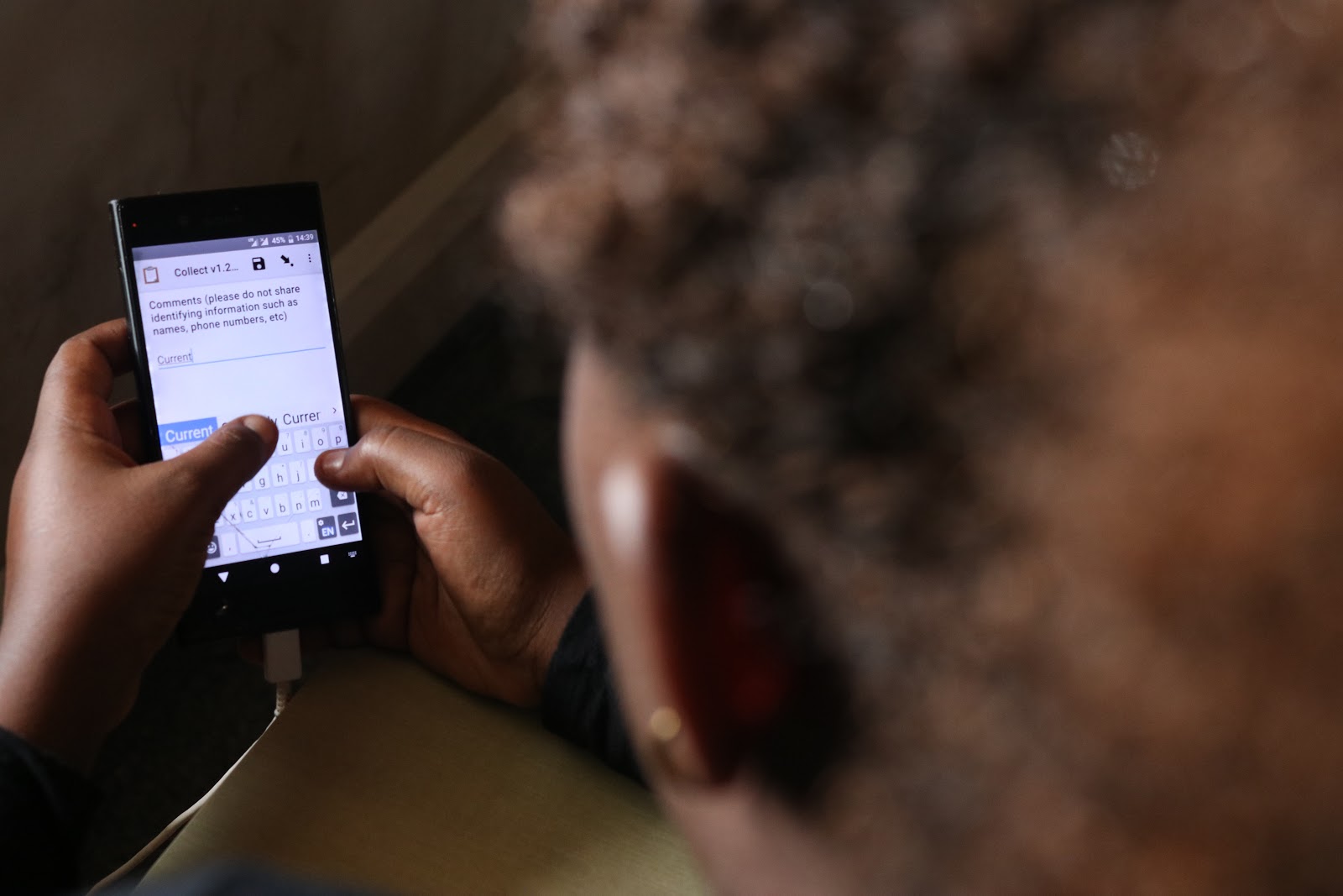
- Basics of ODK and how the application works in the field. They had an opportunity to collect some points around the university campus, just to make sure they got a hang of it. We then visualized the points collected on QGIS for them to see how the process works and how the data they will be collecting in the field will be visualized.

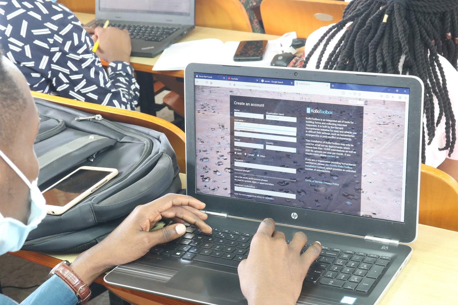
- XLS Form and KoboToolbox server creation. It is very important for students to understand the infrastructure behind the surveys they will conduct in the field. Helping the students see how applications work in the backend to produce what they see in the frontend increases their passion and appreciation of what they are doing. Students created their own KoboToolbox accounts and learned how to create forms and deploy them on the server. This will equip them with the necessary skills that will help them beyond industrial training especially for those doing their dissertations and research; this can be the leap from field papers to digital data collection we have always been hoping for.
- Introduction to drone imagery for mapping and how important it is to have these images while mapping for floods. This was demonstrated to the students visually with a drone video prepared by one of our supervisors to inspire students who want to gain more skills in drones.
- The importance of community engagement while mapping and how to conduct/collect household surveys.
What we expect from students
At the end of this training, we expect students to have a better understanding of the strength of maps acting as a tool for urban resilience and how the data collected can be analyzed, visualized, and used for decision-making in the long run. Students will work on the following:
- Flood extent mapping: Conducting household surveys on the extent of flooding in different predetermined areas by interviewing community members living in these areas with questions like the depth of flooding and how often the flood occurs. This data will help in the development of a flood model. Since flooding is a very sensitive issue especially to communities that are being affected, the communities may be reluctant to cooperate with beliefs that their houses may be demolished. In order to overcome this hurdle, we train students to clearly explain the goal of the project and that it does not aim to relocate them, but rather provide relevant data to decision-makers which will result in infrastructure development in their communities.
- Ground control points for UAV surveys: As an extension of the Ramani Huria 2.0, an additional targeted 100 GCPs will be collected by students from these universities in three rivers; Msimbazi, Mlalakuwa, and Mbezi rivers which will be processed for rectifying drone imageries.
- Building footprints digitization: Most buildings within the city have already been digitized using a high-resolution raster background, however, this is from 2016 imagery. Students will use Maxar imagery (with 50cm accuracy) to re-digitize Dar es Salaam to provide building exposure data. The focus of the updated digitization will be on peri-urban areas where a high rate of change versus the situation in 2016 is expected. Inner city and other already densely populated areas will only receive cursory checking and validation, and will not be updated at the individual building level.
- Tree mapping: This will involve measuring the height of the tree diameter at breast height (DBH), identifying tree species which can also be identified using tree leaves, bark, roots – A botanist will help to identify the species in SUA. At Dar es Salaam, students will be mapping trees along the River Ng’ombe that is being upgraded to get a baseline tree database.
- Data quality and validation: After data collection, few students will be trained on data quality assurance. They will conduct quality checks to make sure that data is of the desired standard.
Insights from Students
Students are generally motivated and eager to learn more in the coming weeks. According to the students, they didn’t know that their mobile phones could be used for anything other than just normal communication. They shared their minds with us:
“Our mobile phones are much more than just texting and calling, I didn’t know I can use my phone for mapping. I’m really looking forward to learning more, especially field mapping and GIS applications”. Zulfa Said, Student – UDSM
“What I like more about this project is the involvement of community members, and this is what brings changes in our society “- Jackson Pilla, Student, SUA.